Rhino for Landscape Design
Rhino’s 3D modeling tools combined with Grasshopper’s parametric tools and landscape-specific plugins provide a complete software solution for landscape design.
Starting from a simple sketch, you can create complex 3D projects with terrains imported from the web, site-specific vegetation, and parametric objects that can be presented with realistic images and walkthrough animations. Generate 2D documentation to take to a construction site and make your terrains, plants and other objects be recognized as BIM objects in Autodesk Revit® thanks to the Rhino.Inside Revit integration.
Who Uses Rhino?
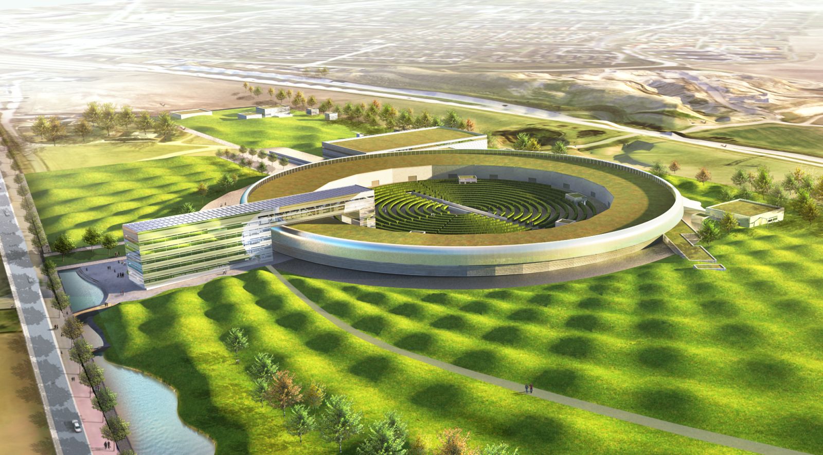
Rhino’s modeling tools are used by landscape architects, urban planners, town council technicians, constructors, green space designers, and many other professionals. Explore some of their projects.
Landscape Tools
Rhino’s NURBS geometry, subdivision geometry (SubD), point clouds, and polygon meshes offer a perfect balance between precision and freedom. Work with accurate layouts containing roads, sidewalks, buildings and combine them with your own free and natural features.
Rhino reads and writes files from most applications and has become an optimal companion and asset for preliminary design, planning, project development, and fabrication.
“What stands out the most is undoubtedly the possibility of converting these complex geometries that we integrate into our landscaping projects into 100% manufacturable design elements. I also highlight the ability to develop with Rhino + Lands Design the complete landscape design process: preliminary project, project and execution…” - Rosana Almuzara, Paisajismo Digital
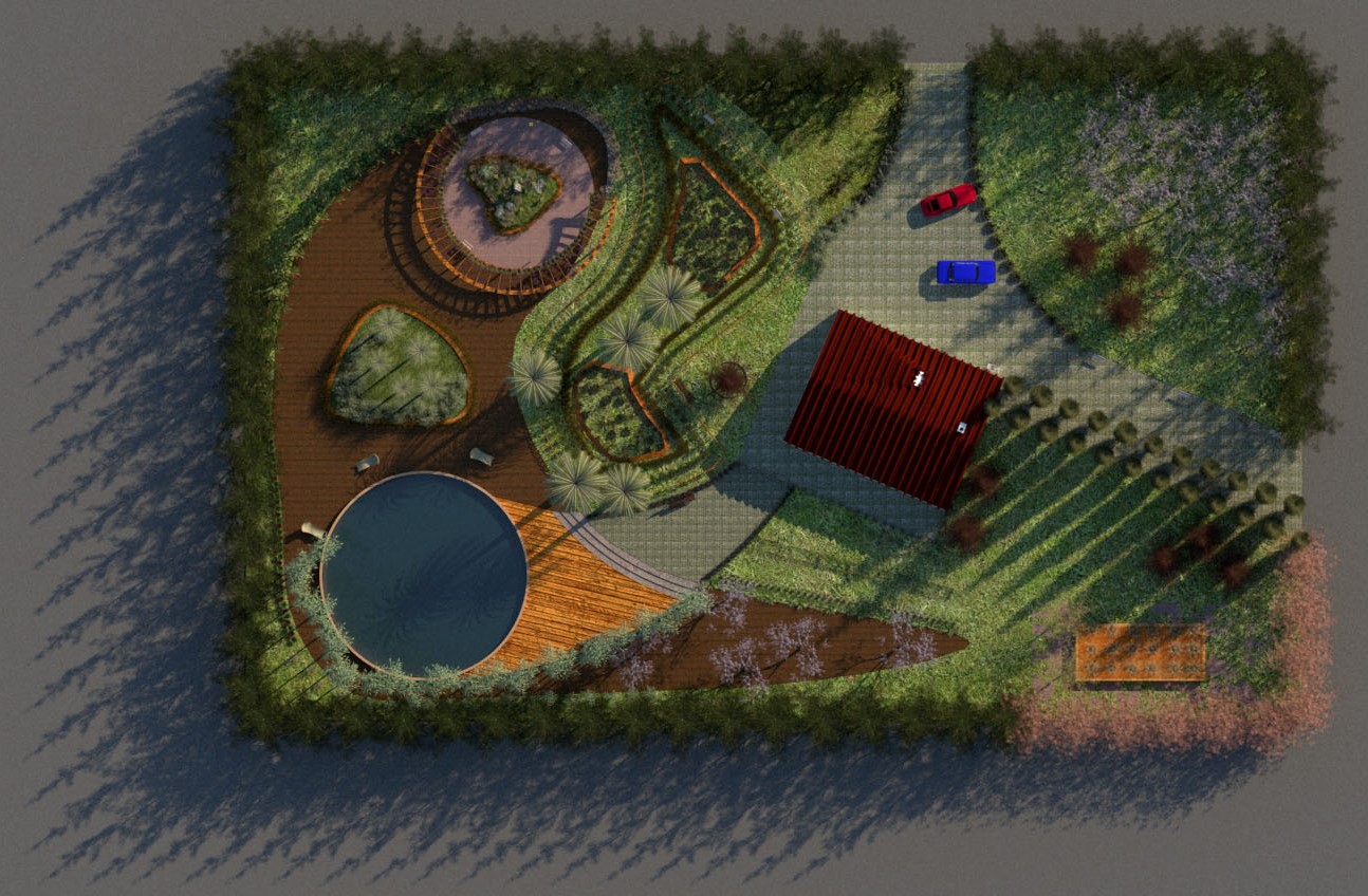
Convert Linework into 3D
Rhino can import different types of file formats. And since the release of Rhino 7, you can easily copy/paste between Rhino and Illustrator®, Inkscape™, and Affinity Designer® (Windows only). Once your layout or sketch is on Rhino’s viewports:
- Start designing using the 2D drafting tools.
- Create surfaces using the surface tools.
- Organize your project using the layers panel.
- Use our different display modes or create your own.
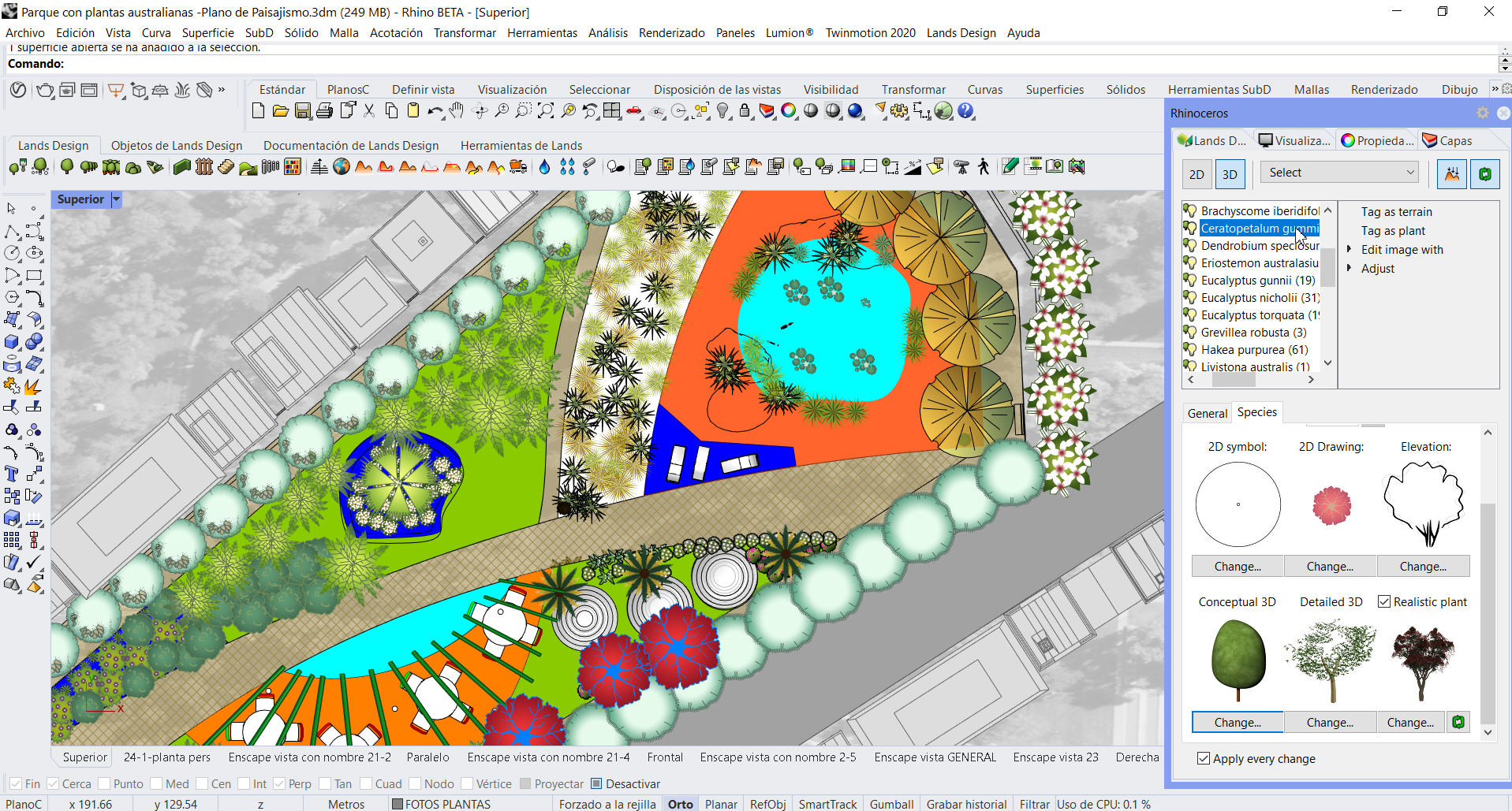
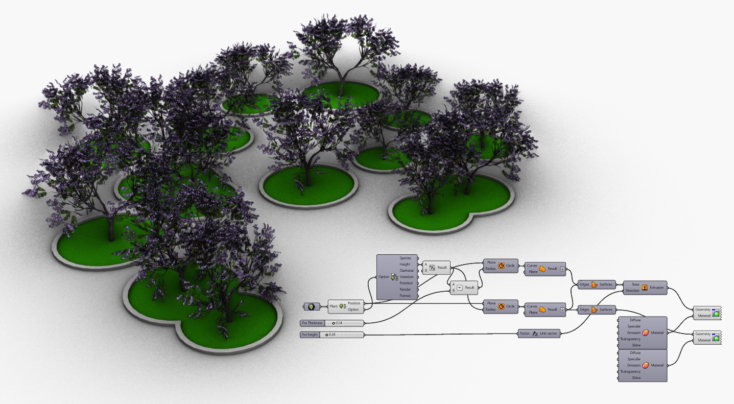
- Insert specific plants and add 3D models from food4rhino.
Terrain Tools
Load large point clouds, create terrain contours, elevation curves, sections, create holes, and a lot more. Rhino has robust support for plugins such as Lands Design, RhinoTerrain and Land Kit that include extra tools for:
- Importing LiDAR data sets.
- Importing DEM files.
- Importing terrains and 3D buildings from anywhere.
- Creating terrains from large point clouds.
- Creating and modifying topographic features in the landscape.
- Changing terrain properties.
- Adjusting vegetation to a terrain.
- Rules-driven planting design .
- Editing of cut and fill operations for landscape.
- Applying orthoimages.
- Preparing for 3D printing.
Documentation
Rhino provides you with tools to generate 2D drawings from horizontal and vertical views that are updated when making changes to your 3D model.
- Insert 2D sections or elevations from a section line.
- Add photos to your layouts using the Picture command.
- Use gradient and transparent hatches.
- Generate lists of plants automatically using Lands Design.
- Display color transparency on objects and by layer.
- Organize your layouts using the Layouts Panel.
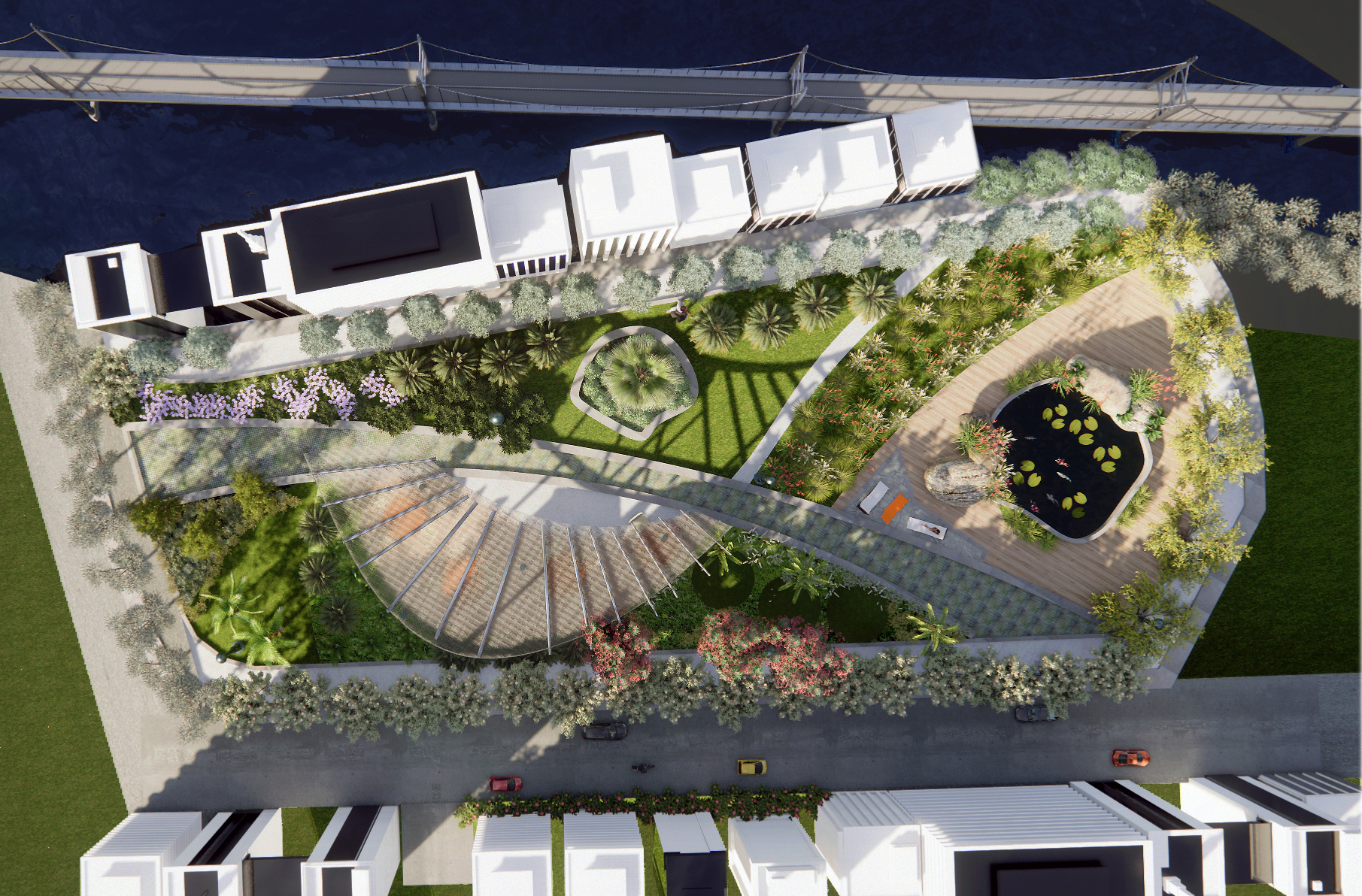
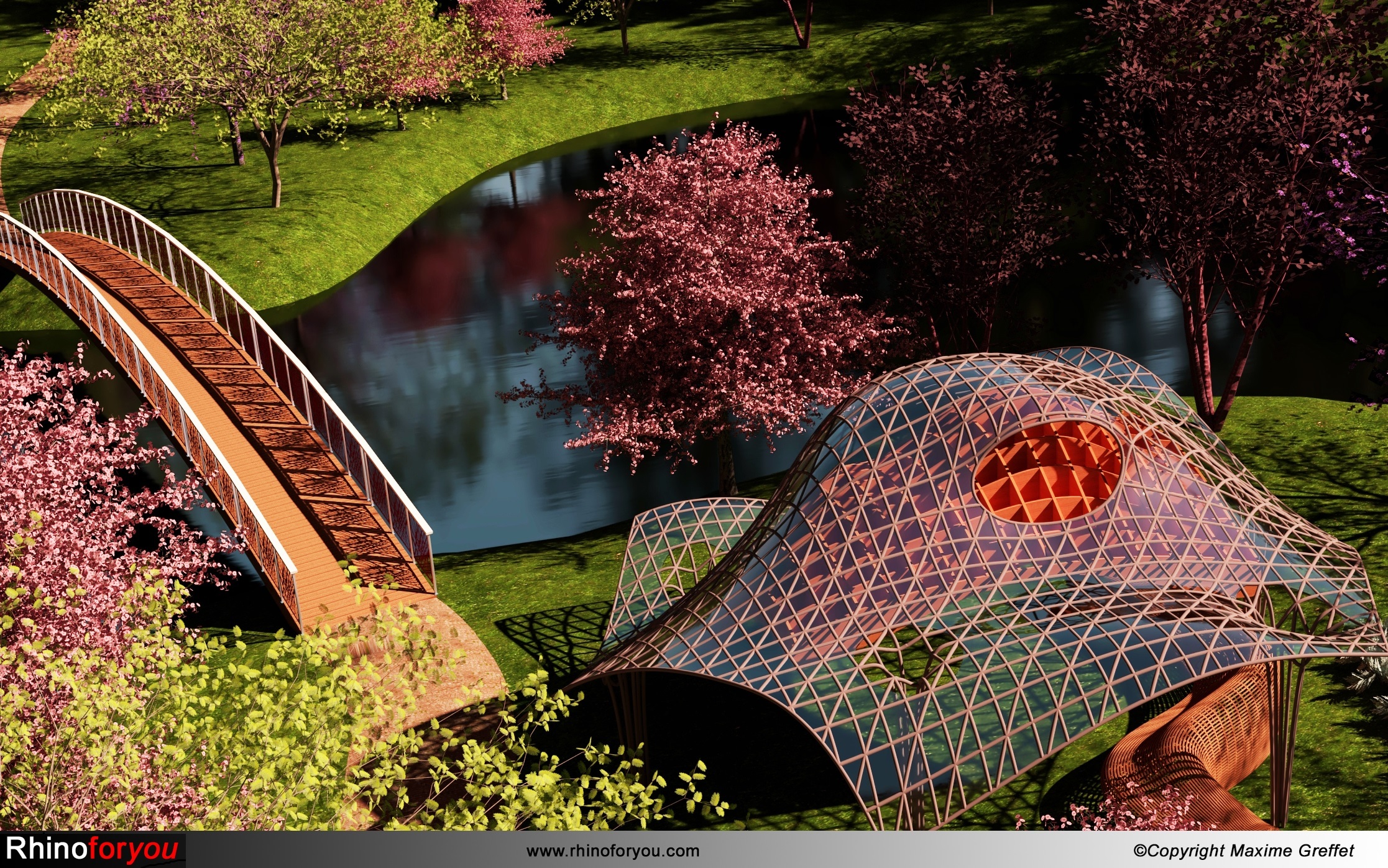
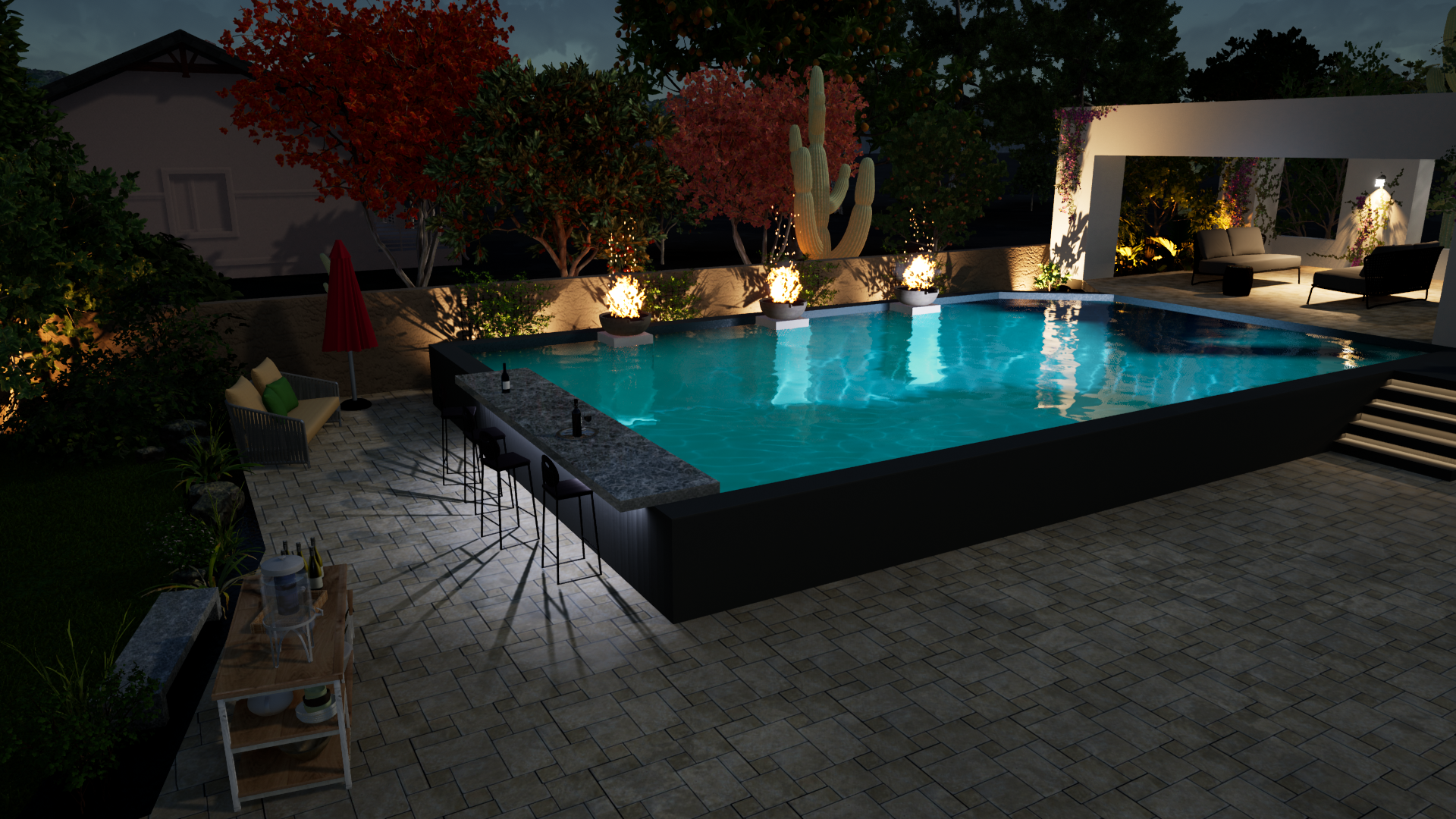
Produce Amazing Presentations
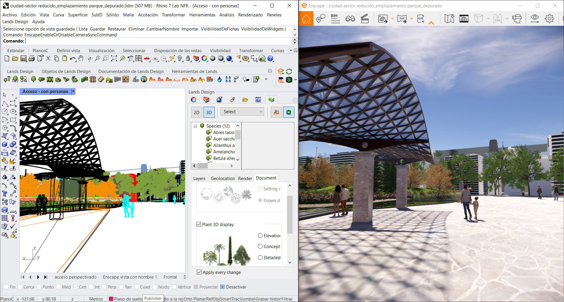
Good presentations are critical to most design projects. Rhino is a great tool for creating illustrations and also photorealistic renderings.
- Use the Raytraced display mode, a real-time raytracer.
- Use Physically Based Rendering (PBR) Materials.
- World-class V-Ray rendering through an integrated plugin.
- Create animations and take virtual tours using Lands Design.
- Integrated plugins for popular augmented reality systems.
Inspection and Analysis
Rhino includes Grasshopper, a graphical algorithm editor that doesn’t require programming or scripting knowledge. Grasshopper provides the foundation for many third-party components to perform detailed analysis.
- Compute area and volume.
- Simulate pedestrian behavior.
- Test materiality.
- Generate shadow studies.
- Slope and aspect visualization.
- Cut/fill calculations.
More Resources
Be part of our landscape design community. Ask any questions, and feel free to share tips, tricks, training, and other resources.
- Codify: Parametric and Computational Design in Landscape Architecture - Essays written by leading academics and professionals.
- Dynamic Patterns: Visualizing Landscapes in a Digital Age - Book by Karen M’Closkey and Keith Vandersys
- LandArch Tools - Open source project designed to streamline and enhance the capabilities of Landscape Architects.
- VisualARQ Styles - Parametric custom objects made by VisualARQ users.
- Nature Materials - Free and ready-to-use material collection.
- 3D Model Libraries - 3D object collection.
Learn Rhino for Landscape Design
Want to start right away? Watch a few helpful videos.
- Landscape Design for Rhino - How To Rhino
- Rhino for Landscape Architecture - Intro
- How to Model Landscaping in Rhino
- Lands Design for Rhino Webinar
- Learn Rhino for Landscape Design
- Rhino - Projecting Roads onto a NURBS Surface
- Lands Design inside Revit, a BIM landscape design solution for Revit
- Land Kit workflows for water, topography, planting, and paving
