
Road Graph
00000000-6c1f-4a77-9b0e-3d5f2a8e41c7
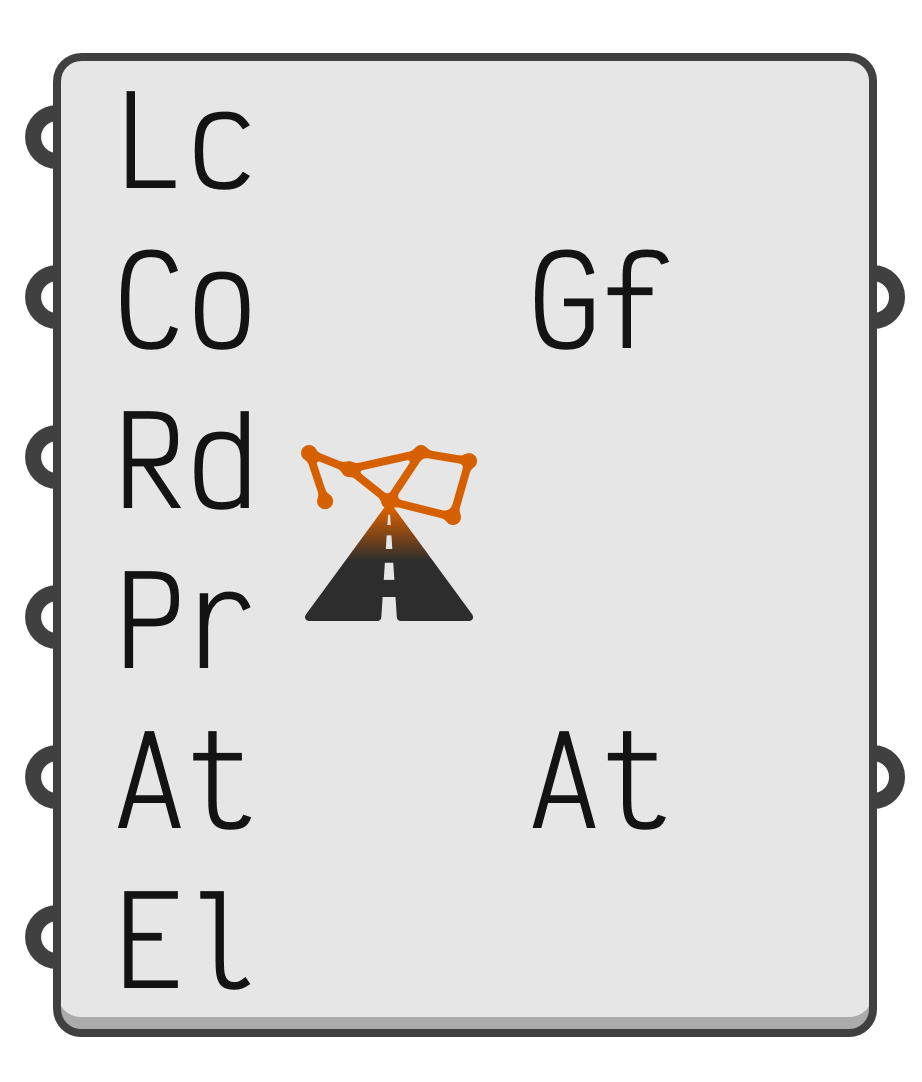 Location inputtext · item · requiredPlace name, address, postal code, 'latitude, longitude' or 'x, y' in national grid metres.Country inputinteger · item · requiredCountry whose road data to use.Radius inputnumber · item · requiredRadius in metres of the area around the location.Parts inputinteger · list · requiredRoad parts to include.Attributes inputinteger · list · optionalEdge attributes to include.Elevation inputnumber · item · requiredScaling factor for heights above sea level. Zero skips any elevation download and results in a flat network.Graph outputgraph · itemRoad network graph, centred on the origin.Attribution outputtext · listData sources used to create the graph.
⚠️ This content is auto-generated.
Download part of a national road network as a graph. This component is in development, currently only the Netherlands and Finland are available.
- Lc → Place name, address, postal code, 'latitude, longitude' or 'x, y' in national grid metres.
- Co → Country whose road data to use.
0→ Automatic1→ Netherlands2→ Finland
- Rd → Radius in metres of the area around the location.
- Pr → Road parts to include.
1→ Motorways2→ Main Roads3→ Streets4→ Residential Zones5→ Cycle Paths6→ Footpaths7→ Public Transport8→ Car Parks9→ Ferries10→ Other
- At → Edge attributes to include.
1→ Speed (km/h)2→ Speed (mi/h)3→ Speed (m/s)10→ Kind11→ Street12→ Road Number13→ Authority14→ Road Class
- El → Scaling factor for heights above sea level. Zero skips any elevation download and results in a flat network.
- Bn → Closed boundary in national grid coordinates, which overrides the location and radius.
- Tl → Simplification tolerance in metres. Zero keeps every bend.
- Cn → If true, only the largest part of the network in which every node can reach every other node is kept.
- Gf → Road network graph, centred on the origin.
- At → Data sources used to create the graph.
- Ce → Centre of the area in national grid metres, which can be used as a Location.
- Tr → Terrain mesh of the area, available in the Netherlands when Elevation is not zero.
- Li → Licence of each data source.