 Reverse Engineering,
3-D Digitizing, and 3-D Scanning - New
in Rhino 5
Reverse Engineering,
3-D Digitizing, and 3-D Scanning - New
in Rhino 5
Overview (Windows only)
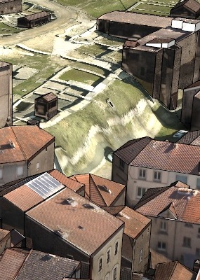 Capturing
existing 3-D data is often one of the first
steps in a design project. Rhino has always
directly supported both 3-D digitizing hardware
and 3-D scanned point cloud data. Rhino 5 has enhanced support for:
Capturing
existing 3-D data is often one of the first
steps in a design project. Rhino has always
directly supported both 3-D digitizing hardware
and 3-D scanned point cloud data. Rhino 5 has enhanced support for:
- Large point clouds. 3-D scanners have become faster and cheaper, making huge scan files more common. Rhino's 64-bit support and enhanced support for graphic co-processors has made it possible to work with these large point clouds.
- LIDAR captures 3-D terrain data for agriculture, archaeology, conservation, geology, land use planning, surveying, transportation, plus wind farm, solar farm, and cell tower deployment optimization. Rhino 5 added robust support for plug-ins, such as RhinoTerrain, that provide specialty tools for these new Rhino users.
New and Enhanced Functionality
- Romer Digitizer - Added support for the right button on Romer Infinity digitizer.
- DigLine - New command: When a point is picked with the digitizer, a line is drawn starting at the probe tip and ending a specified distance in the direction of the probe.
- 64-bit support means being able to work with large point clouds without running out of memory.
- Increased accuracy of objects far from the model origin.
- Support for
Leica Cyclone .pts
file has been added.
